Backpacking
The Great Himalaya Trail
Contributed by Jeff ballard
Nepal
Crossing the Entire Himilaya Range in Nepal - On the Highest Thru-hike on Earth.
- Stages
- 8
- Distance
- 1400
- Days
- 100
- Ascent
- 100000
- Passes
- 15
- High point
- 5800
More at Blog on GHT Website
More at GHT Links (Insta, newsletter, discord)
The GHT has a reputation for being one of the toughest trails out there. This makes sense, as the stated premise for the trail is the “highest feasible route across the Himalaya.” That said, what is feasible is very different depending on the individual, especially when mountaineering equipment is brought into play.
Therefore, what ends up happening is the GHT becomes a network of divergent paths across the mountains, tracing the desires of those who choose to walk it. Much like the Contentientanl Devide Trail in the US, there are harder ways and easier ways, more beautiful alternatives most people take, etc. No matter what path you choose, you can’t escape the elevation—both absolute and gain. There are 13+ passes over 5,000m (16,400ft) and up to a month spent staying above 4,300m (14,000ft) almost continuously. The GHT’s total gain is about the same as the PCT’s, but in 1/3 the distance. So imagine every chill PCT 10% climb being 30%, and you get the idea. The most popular section of the GHT runs the length of Nepal from Kanchenjunga north base camp in the east to the border town of Hilsa in the west.
Like the Transcaucasian Trail, the core aim of the GHT is to spread out the impact of tourism to less visited areas. Given its reputation, not many people attempt the GHT currently. So my real goal was to get more people out there who will bring sustainable economic benefits (and spread LNT principles) to these communities.
It's a fantastic experience, check out the website and take the self-assessment survey to see if the GHT is right for you. (Also shoot me a DM on IG I love talking about the GHT)
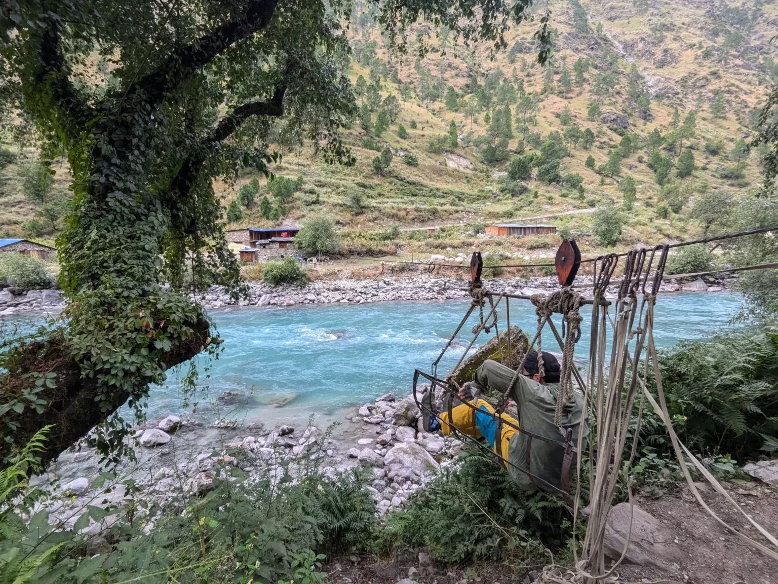
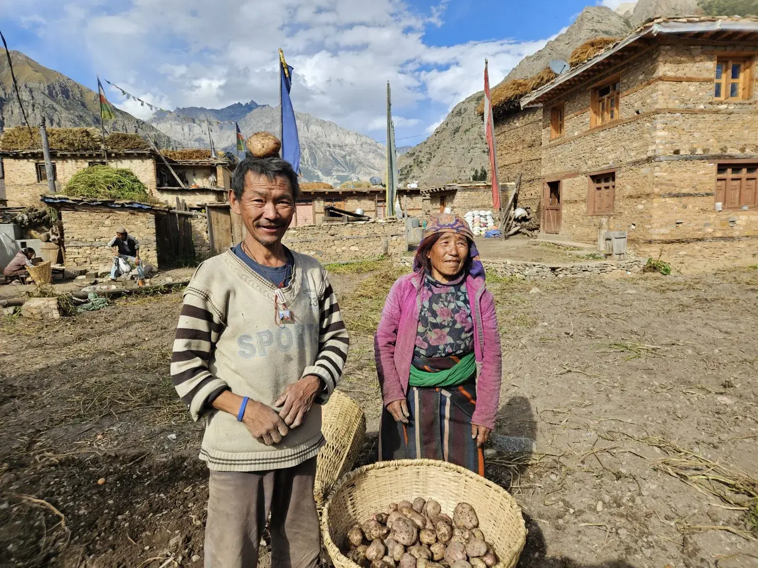
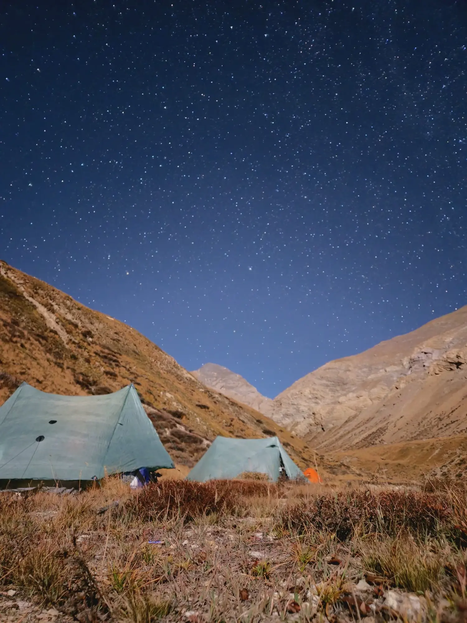
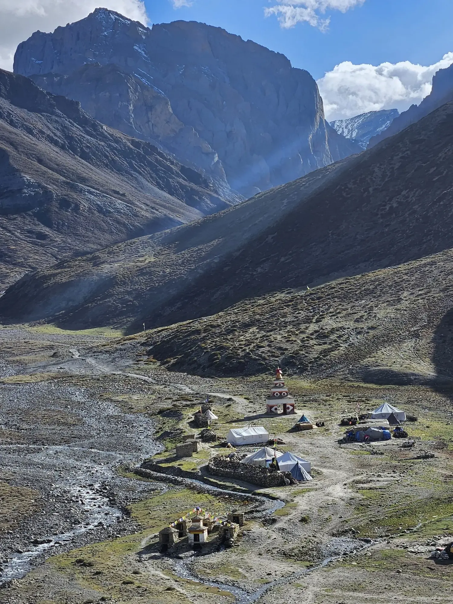
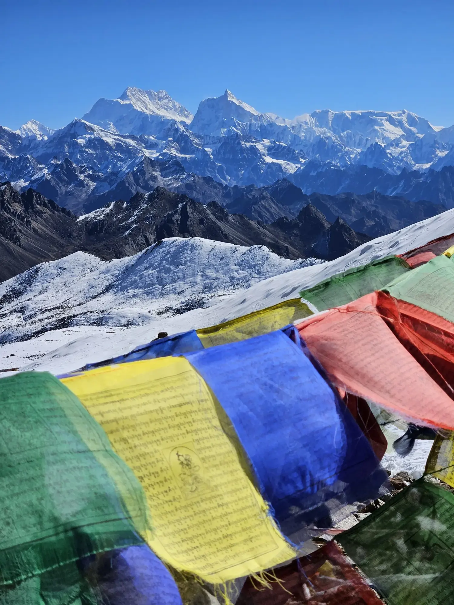
Stage 1: Far West Section: Mugu to Hilsa
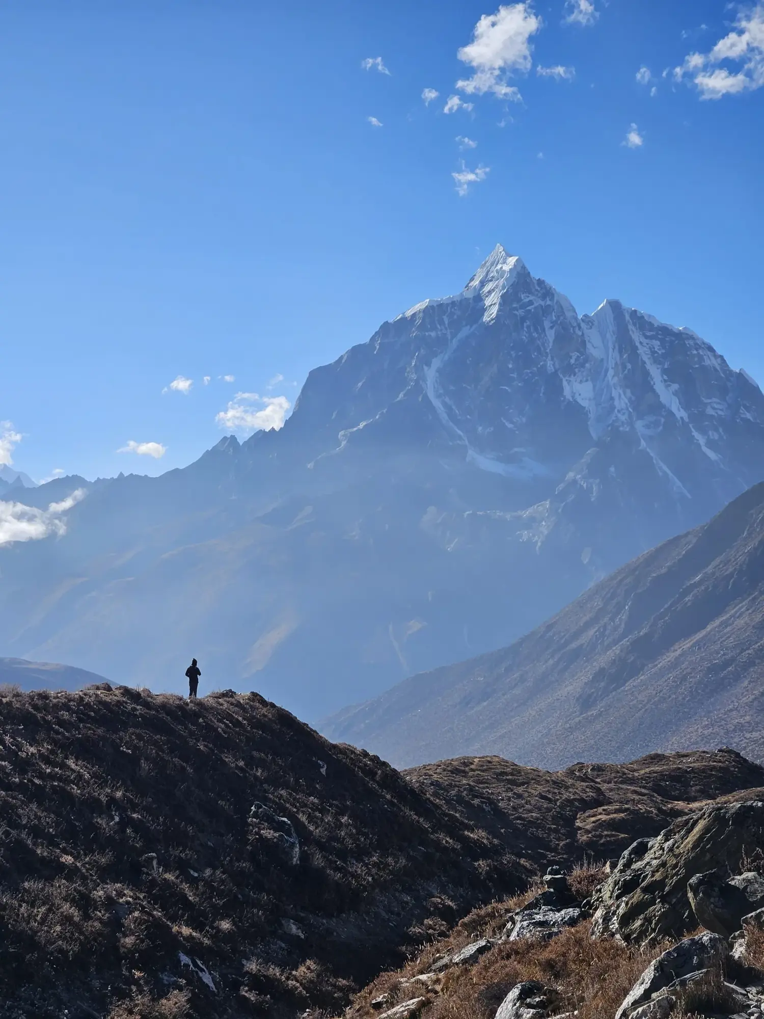
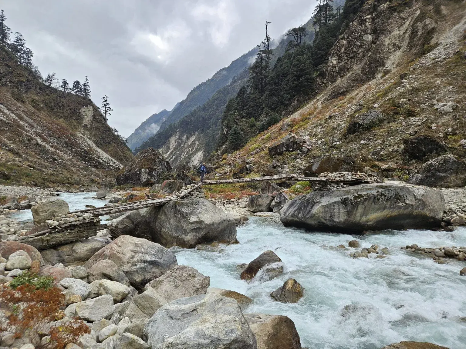
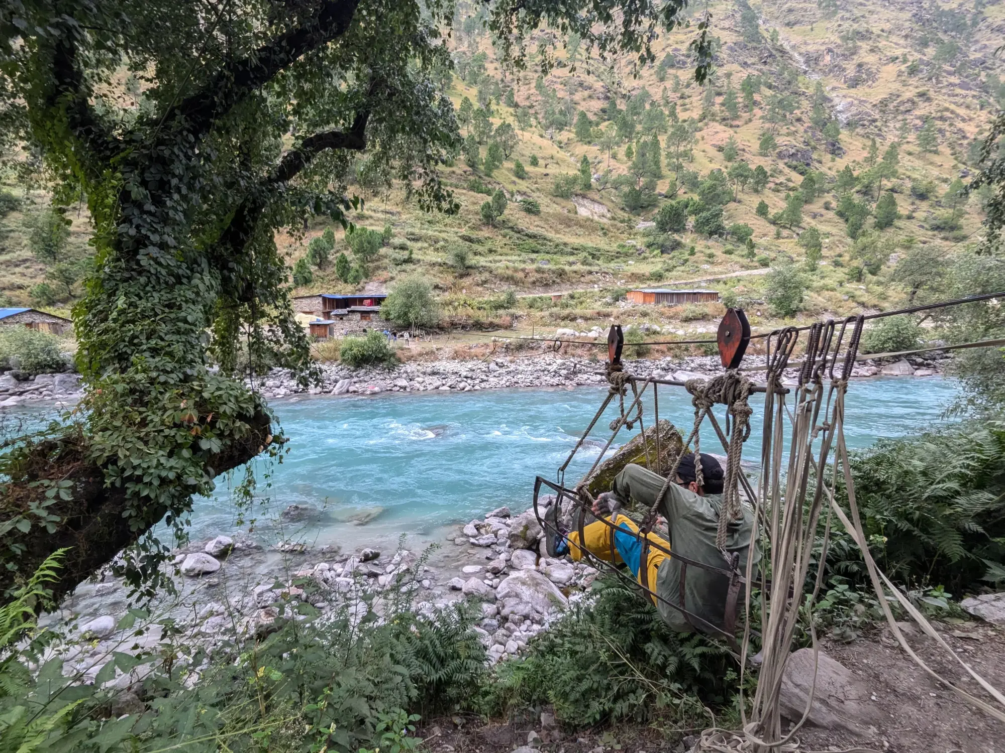
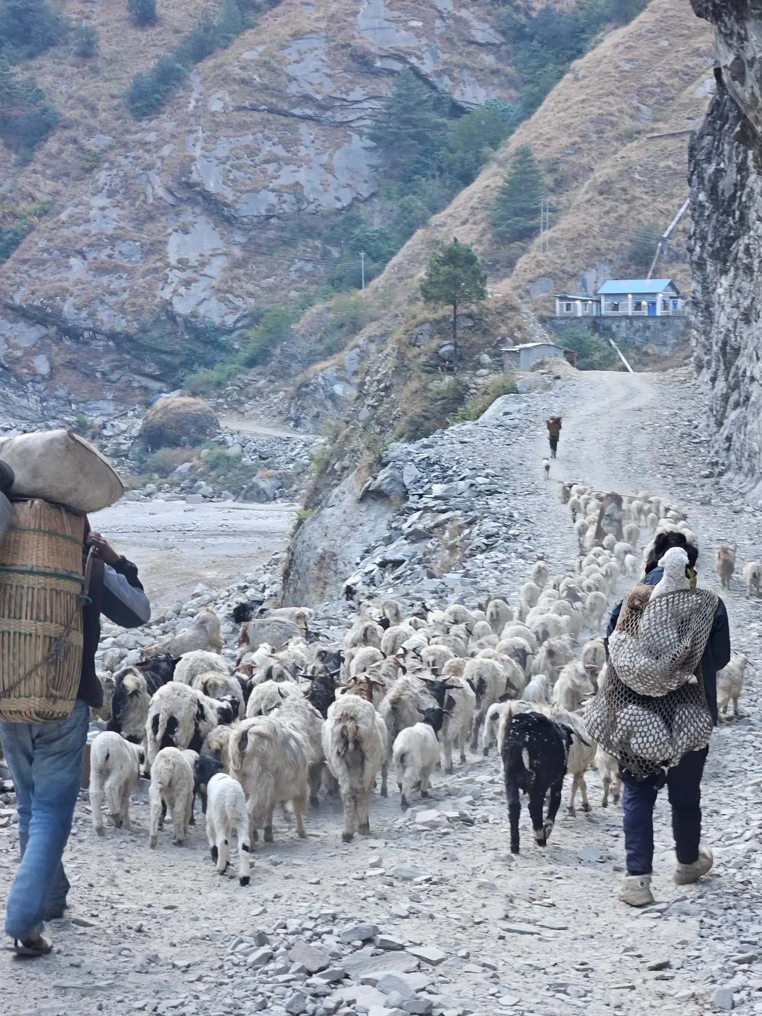
Western Nepal receives almost no tourism, there are no guest houses so you camp or stay in the homes of locals. There are no hiking trails, only the old trade routes and new roads. Sometimes there are no bridges, so you take a cable across the river. The small villages are the visibly poorest we've seen, some without running water or electricity. The people are welcoming and friendly none the less, we mostly speak through the children who have learned English in schools. It's a beautiful place, the terraced hills, the steep gorges and the small villages perched impossibly on them.
After 500km, we reach the border of Nepal and Tibet. We we take a jeep. Then short runway flight back to Kathmandu and prep for the Eastern half of the GHT.
Stage 2: Dolpo Section Part 1: Kagbeni to Ringmo
The natural place to start is sometimes in the middle. The monsoon is still en force in Nepal in mid September so, starting the GHT behind the rain shadow provided by the 8,000m Annapurna and Dhaulagiri mastiffs was the way to go.
After the crowds of Annapurna, the vast emptyness of Dolpo is shocking. But Dolpo is not empty, it's home to ethnic Tibetans in remote villages who used to trade Himilayan salt with the lowlands. Some of the oldest forms of Tibetan Buddhism is still practiced here, Bon. Now only about 500 visitors each year visit this remote region. But Dolpo is special in many other ways too, it's shockingly arid in contrast to the lush green of Annapurna and it's diverse too. Each pass leads to a totally new landscape in the next valley.
Although new roads are being built, most of these villages are still one or two 5,000m passes from the nearest road. Everything comes on the back of a mule or dzo (yak-cow hybrid).
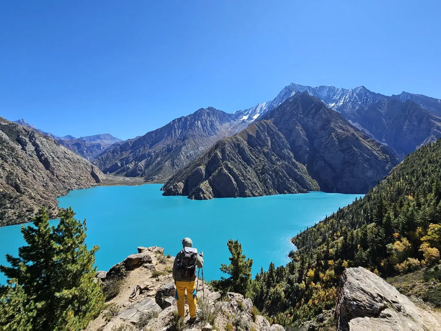
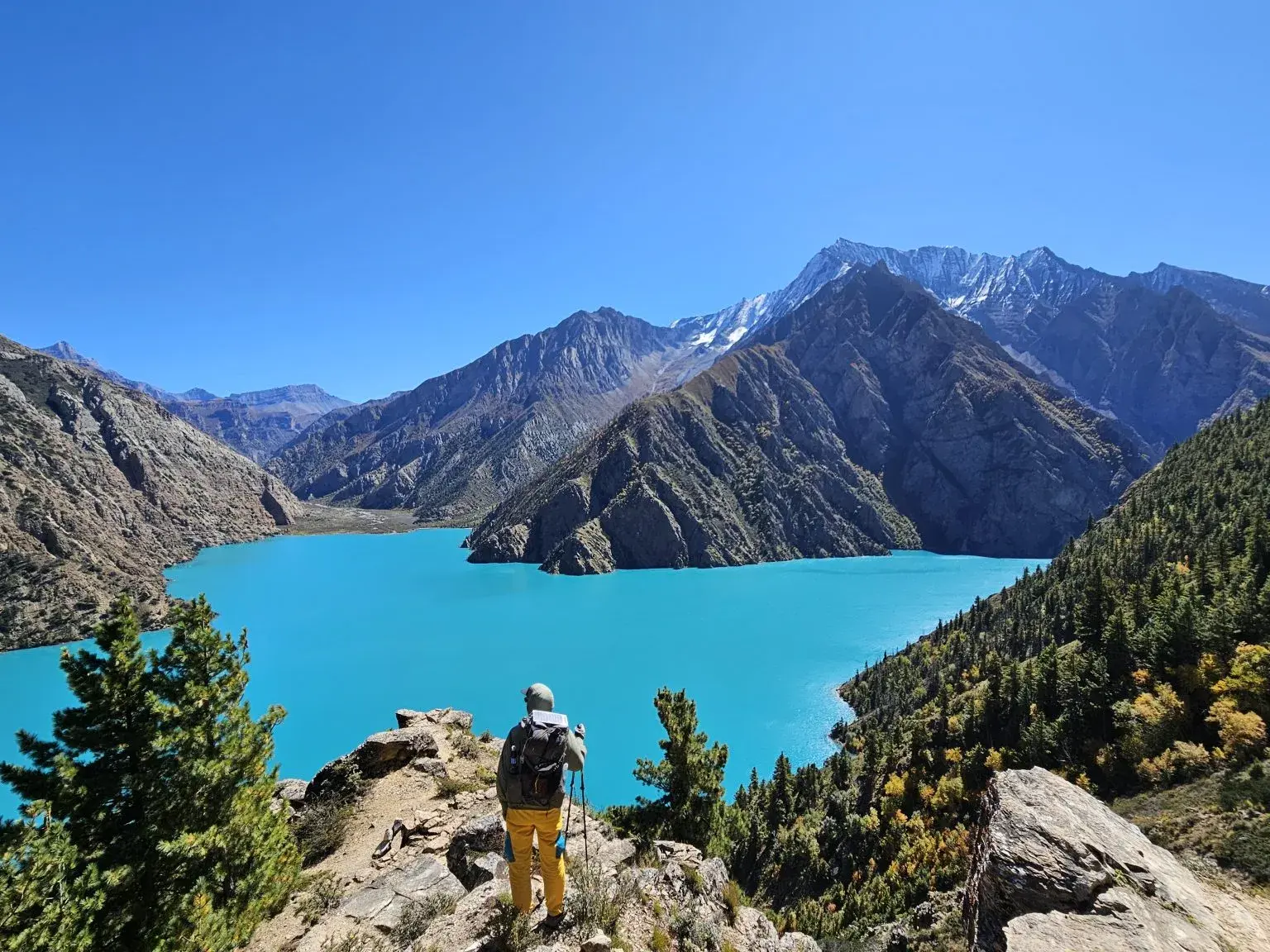
After 4 successive 5,000m passes is one of the highlights of the section is reached Phoksundo Lake. Unbelievably, otherworldly blue.
Stage 3: Dolpo Section Part 2: Ringmo to Mugu
's been 19 days since my last shower, sure I hoped in a few streams but it's freezing out. Only the sun in the early afternoon is warm.
From the wild blue of Phoksundo Lake, we head north. The villages get smaller and the paths narrower. The only people who venture here are cordyceps hunters, the zombie fungus that infects caterpillars and then severs their brains and controls their bodies. Long used in Chinese medicine, this wonder fungi is becoming more studied in the west and prices are rising. In the springtime camps sprout up here (like the mycelium out of the caterpillar). After the monsoon it's empty save for a few GHT hikers, we would meet 4 others along the way actually. The border with Tibet is just ridge away. A massive wall of ice and stone.
one
After 4 more passes, we make it back to the land of
roads, and electrical power (well sometimes)
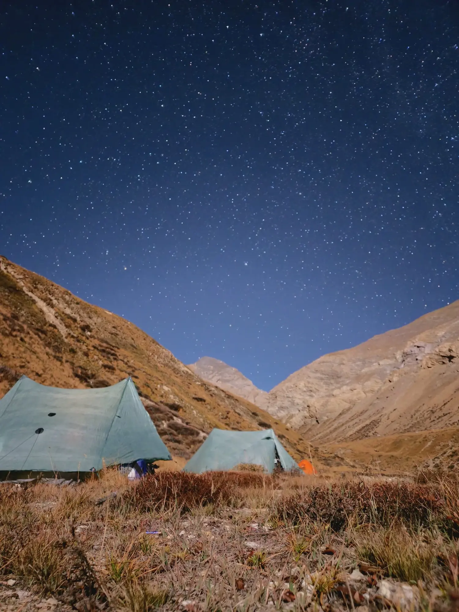
Stage 4: Kanchenjunga Section: To KBC
The eastern terminus of the Great Himalaya Trail is the northern basecamp Kanchenjunga, the eastern most 8,000m peak. It's a 6 day hike out to reach (we skipped the typical acclimation days hoping our extra red blood cells from the far west would get us through. They did, just barely).
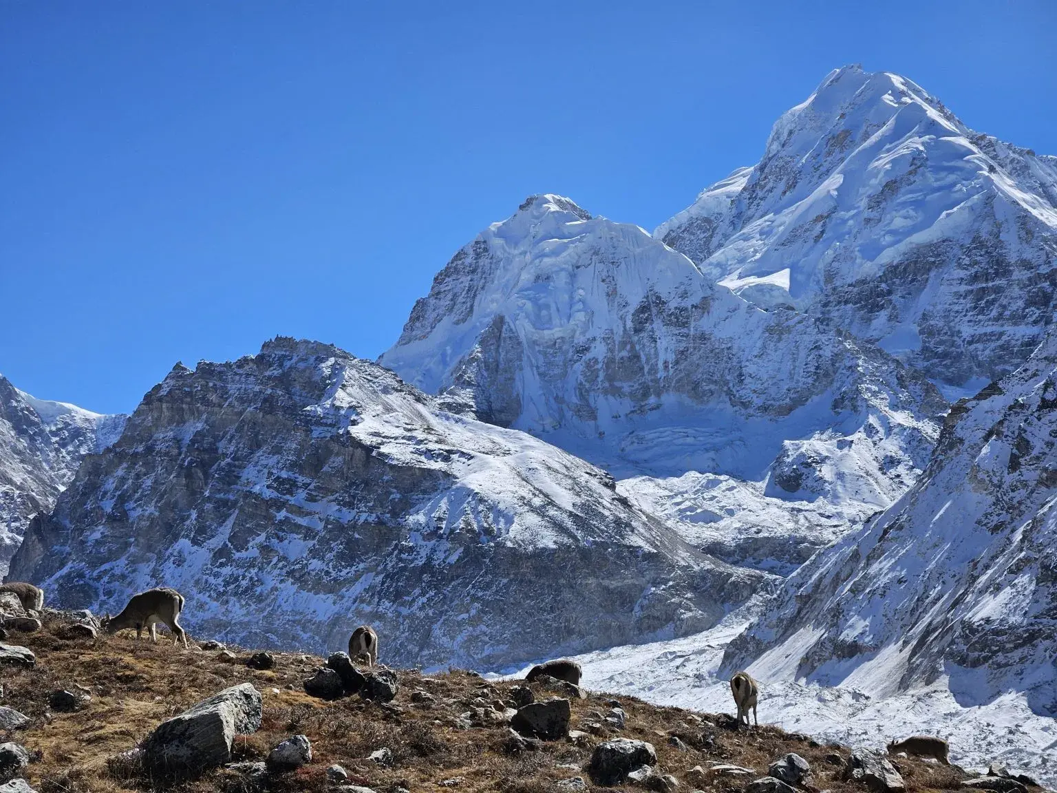
The terrain here is the most typical high Himalayan we've seen so far, massive rock covered glaciers slowly moving their million ton mass down the valley. A string of increasingly tall, snow covered peaks closing in as you asend.
Once we touch base Basecamp we head back down the valley to start the 2nd half of the GHT.
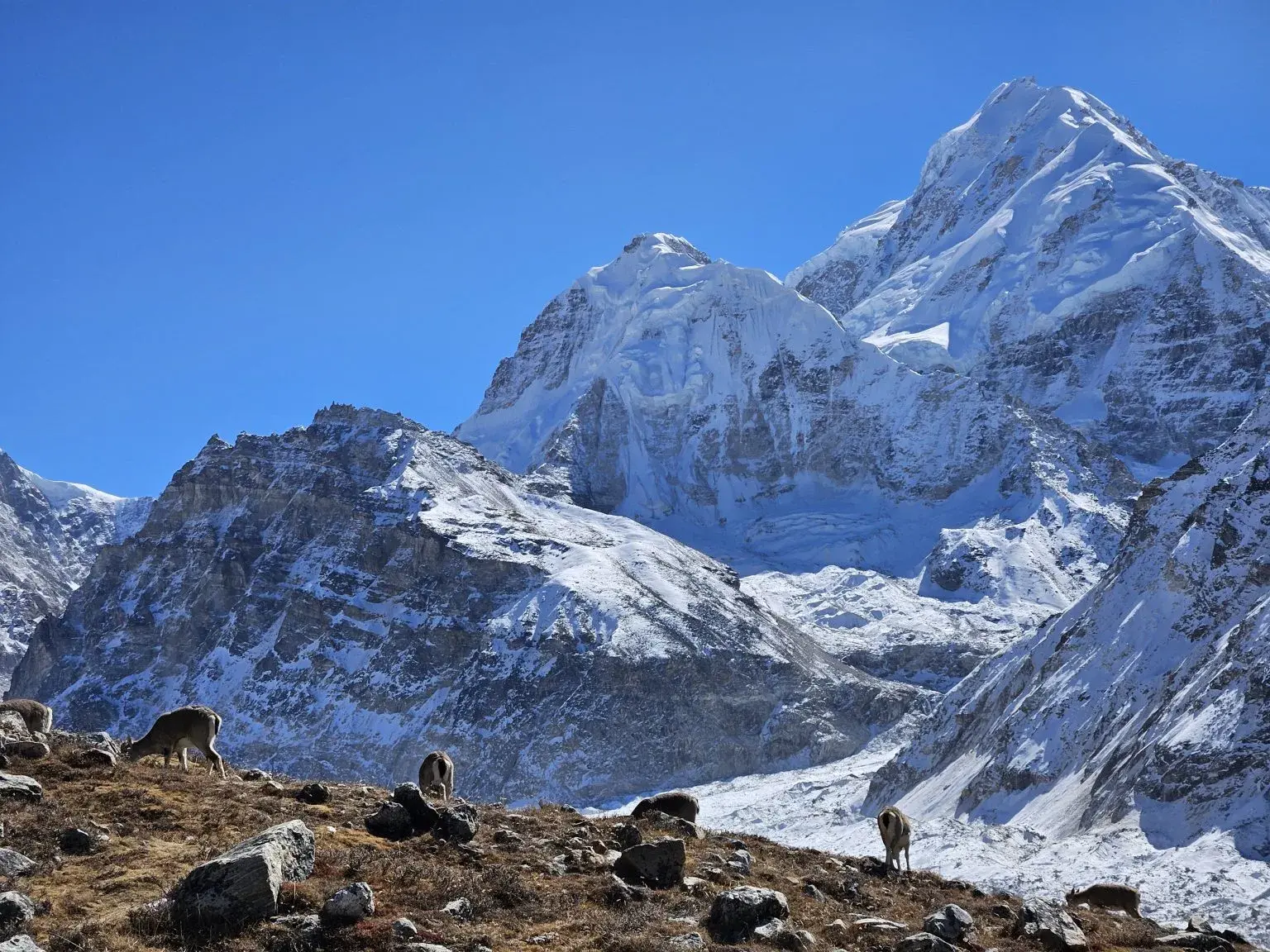
Stage 5: Kunchijunga Section: Gunsa to Lumba Samba Pass
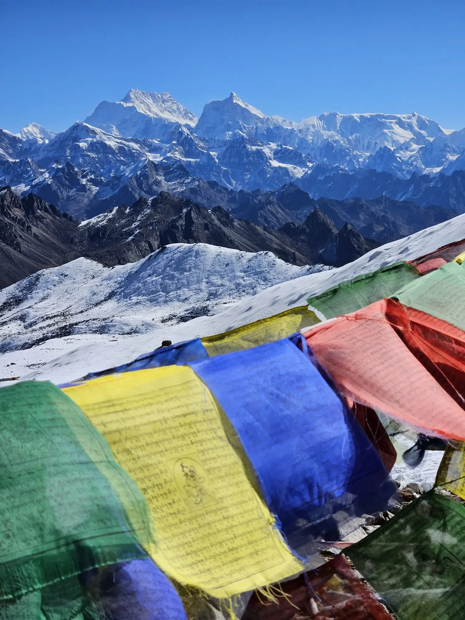
After tagging the basecamp, we again head west. Leaving the higher trafficked trail behind, we make for the our first 5,000m pass of the section, Lumba Samba. This will also be the first snow crossing (we've been lucky that the flip-flop has allowed us to get this far without snow). The view from the top is probably the best yet: Kunchijunga to the east and Makalu to the west.
On the way we meet @goatacular lan and company. I've been following his Pan-asian Crescent trail project, which makes the GHT seem small by comparison, for a while now and it was great to chat.
Stage 6: The Low Route Part 1
After starting again in the east, and coming down
from the high Kanchenjunga massif, we head lower to avoid the technical passes in the Everest region. The air is thicker here but the going is often tougher. Instead of walking down valleys to passes, we are walking perpendicular to the flow of rivers down from the high mountains. So each day we ascend and descend the steep jungle slopes and pass one valley after another. New roads have left some of the old trails we try to follow overgrown and bridges are left in disrepair. And yet the small villages have a pastoral charm all their own. Life here hasn't changed much in hundreds of years (save the music blaring from smart phones). People still labor together to work their fields for the good of the community. No trekkers go this way so we are often greeted with confusion and bemusement. After a few weeks we found ourselves on the edge of the more popular trekking regions closer to Kathmandu.
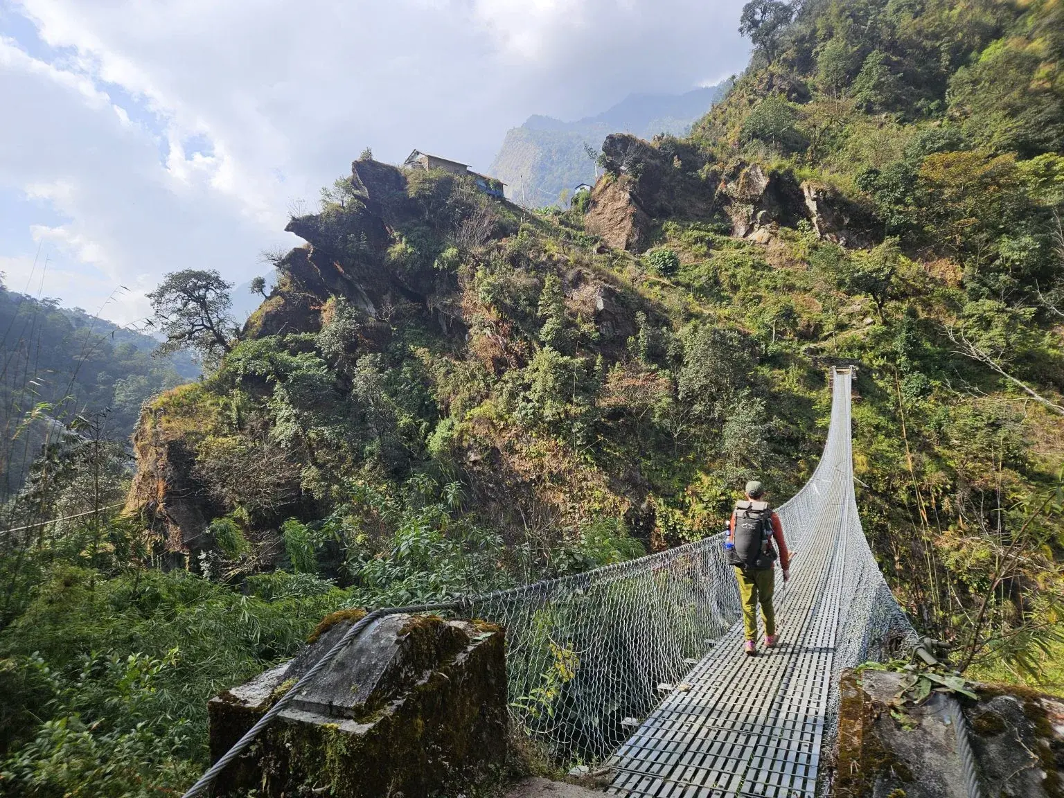
Stage 7: Low Route Part 2
It takes us almost a month to skirt around the Everest region. This bypass takes us on the former GHT low route. In many areas, these historic paths have been cut or replaced by roads in a modernizing Nepal. On one hand, it's sad to see the loss of these old ways. I often think of the thousands of people who walked along the precarious paths cut into these mountains.
The nostalgic plight of trekkers is nothing compared to the increase in quality of life for the peoples in these remote villages that the road brings, however. A three-day walk to the nearest doctor is now a one-day jeep ride. Nepalis deserve to live in the same century as we do.
That said, some older trails with established tea houses do fade away in areas where trails have given way to roads. In the area just south of the Everest region, one community came together during the pandemic and came up with a great solution to this issue. The old trails from Jiri to Lula were destroyed by the new road in the last decade, and tourists started to avoid the area. However, in the last few years, new trails parallel to the roads have been built, and the trekkers are starting to come back.
It's my second time on these trails, and I hope more people choose to hike into the Khumbu from Jiri. It is definitely the best way to experience the region.
We leave the new trails after passing Jiri and head back up towards the high route. After bypassing a last technical pass via the Gosainkunda Lakes (sacred to Hindus and Buddhists alike), we head towards our last section on the GHT: Manaslu.
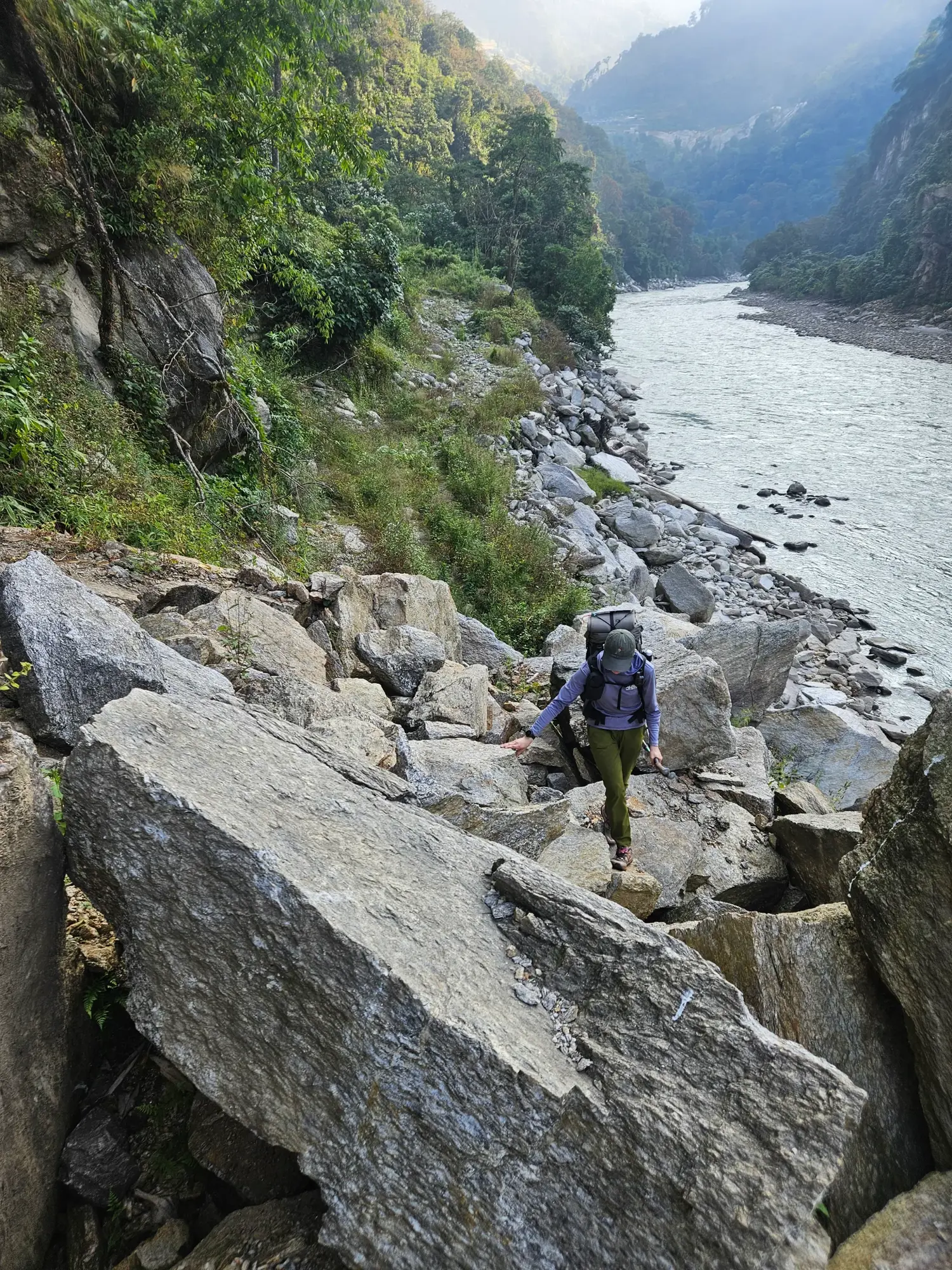
Stage 8: Manaslu Section
The last section of our flip-flop hike of the GHT would be the classic Manaslu Circuit. After a final few days in villages between Manaslu and Langtang, where people wondered if we were lost, was looking forward to being in a tourist area again. Ah, the land of menus and maybe even hot showers. Of course, I only wanted dal baht, given my insatiable appetite. However, the last week in December is decidedly the off-season, and most tea houses were closed. We saw only two other groups of trekkers in our six-day crossing.
Manaslu has a reputation for being less crowded, but I thought there would be a few more people out there. When planning the trail, I assumed any early winter snows would not be an issue as there would soon be a boot track laid by the other groups. This would not be the case, so we had to hope for good weather.
Checking the forecast revealed that my hopes were in vain; there would be not one but three snowstorms coming our way in increasing intensity. This left a two-day window for the pass before the third and largest storm hit.
The first storm, only forecasted for less than 30 cm, came on schedule while we were still below the freeze line. The plan for the next day was to get higher and be ready for the pass when the weather cleared. However, I spent most of that night and the next day down with gastro as our pass window shrunk away.
Stage 9: Annapurna Section
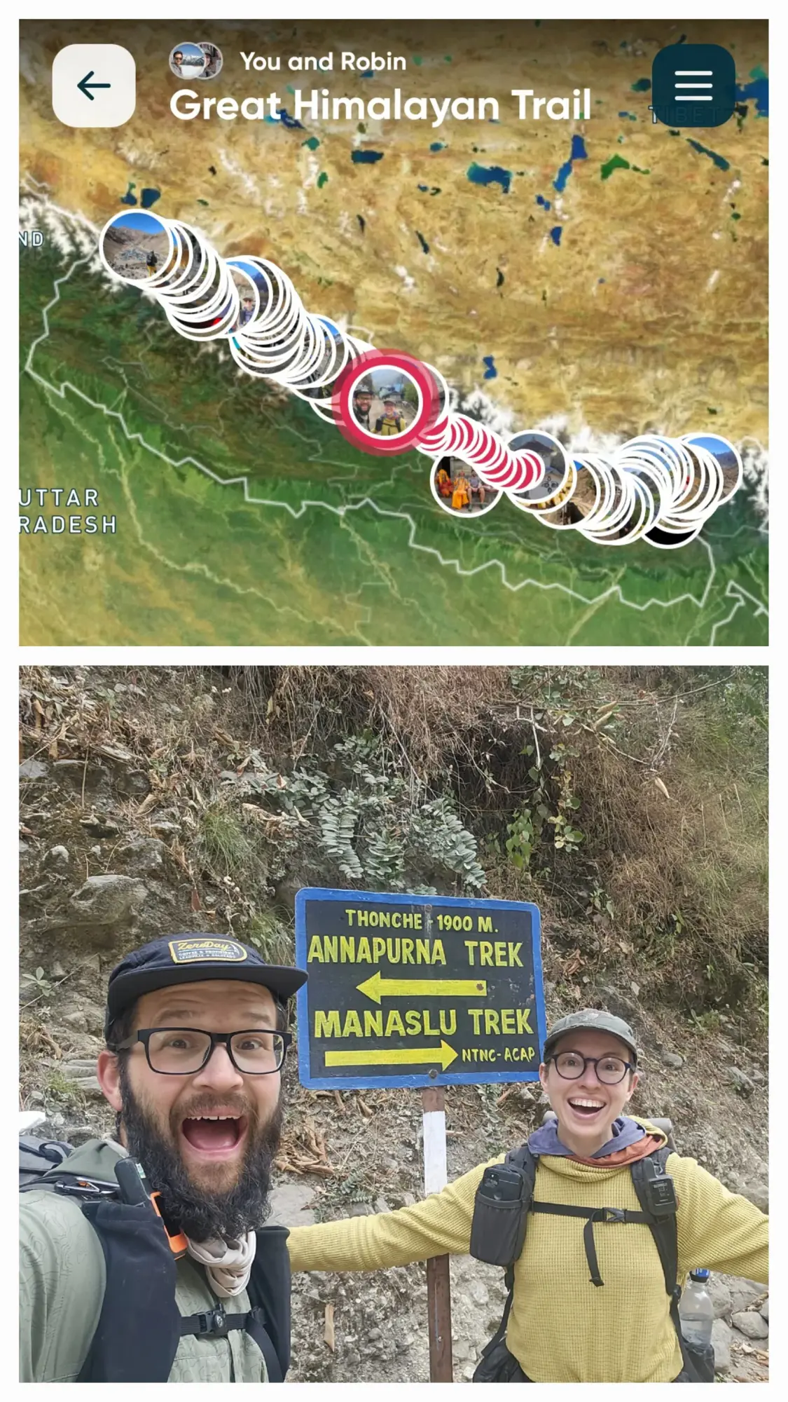
Annapurna was the start of our GHT, chosen to avoid the monsoon rains by sheltering behind the 8,000m high ridge which creates a rain shadow. Now after finishing the trail in Manaslu we find ourselves back at the start again 3 months later. What a wild journey.
Closing thoughts
As I hiked, I also gathered field data on trail conditions, campsites, water sources, and navigation details. After the trail, I reached out to the trail founder Robin Boustead to ask if I could volunteer. I love that the mission of the GHT is to spread out the impact of tourism and ensure the people who live at the top of the world share in the benefits of adventure. I've spent the last year working on the NextGen GHT, releasing a mapping app (FarOut), an online community (Discord) and community check-in points. It's been a great way to make the trail more accessible and safer for everything to enjoy.
Definitely reach out on IG if you have questions I love the GHT and would be happy to chat 🤟🫶🇳🇵